
Bangalore, June 28 2023: The leading Geospatial organizations Allterra and NeoGeo, have jointly won the largest-ever drone-based Land Parcel Mapping contract through an open tender process from the Karnataka government.
The project covers an area of 68,000 SQ. KM. and 10 complete districts in Karnataka – Gadag, Koppal, Kodagu, Chamarajanagar, Chikkamagaluru (Chikmagalur), Vijayapura (Bijapur), Yadgir, Raichur, Bidar, Kalaburagi (Gulbarga).
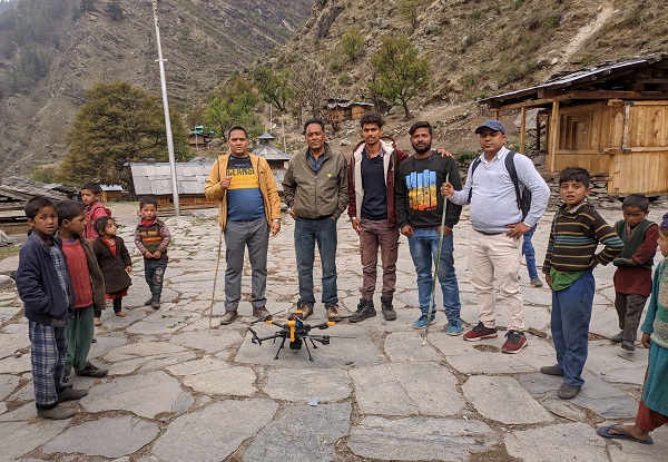
Both companies have chosen Aereo (formerly Aarav Unmanned Systems) as their technology partner for this historic project. This entire project will be done using Aereo’s state-of-the-art drone solutions.
This work envisages deployment of approximately 60 survey-grade PPK drones to capture high-resolution images to generate maps with a resolution better than 5 cm per pixel. At full scale, the fleet of drones will be mapping an approximate area of 1,75,000 acres in a single day on an average. Furthermore, the SSLR department will be using these Ortho-Rectified Images (ORIs) to create digital land parcel maps. These digital maps will play a critical role for updating landing ownership records, ground truthing and enabling infrastructure development across the state.
Allterra is a renowned brand in the geospatial sector with extensive experience in positioning technologies including CORS, GNSS and provides complete solutions in this field. Allterra provides innovative solutions in the field of survey and mapping by bringing the latest and most advanced solutions to Indian market.
NeoGeo Technologies is one of the leading solutions providers in spatial data capture, data modelling and applications in the country with over 20 years of experience in executing large government projects. NeoGeo has proven expertise and experience in developing and deploying accurate GIS mapping technologies.
Aereo is a drone solutions provider and has proprietary and cutting-edge technology. Over the past year, Aereo has successfully mapped over 25,000 sq. km. in the state of Haryana. Aereo has built highly advanced intellectual properties (IPs) throughout the last decade. This has resulted in them filing close to 15+ patents and building India’s first DGCA-certified survey-grade PPK drone. To fulfil such a high-capacity demand, it is hiring an expansive team of around 250 people with high technical skills. That includes over 210 drone pilots, DGPS surveyors, and project coordinators.