
NAVTEQ's new India Production Centre is its largest, worldwide
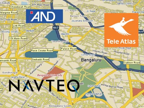
Dutch digital mappers TeleAtlas and AND are already here.
Chances are, these days, the maps that go into that cool navigation tool on your smart phone or car-route finder that guides you turn by turn, almost any where in the world, were crafted in India. Surprised? Read on!
Chicago-based leader in digital mapping, and a Nokia company since 2007, NAVTEQ, has announced the establishment this week, of a Global production centre, its largest any where, in Mumbai, India. Initially staffed with 400, the centre will quickly grow to house 600 professionals , mostly geocoders. They will work on creating and updating NAVTEQ's maps for 77 countries and 17 million miles of roads..
The company has also announced ' significant expansion' of its coverage for India which already covers over 40 cities... to 84 cities and 1.4 million points of interest. Its own research shows that Indians stop to ask for directions at least 4 times before completing a journey.
Navteq is not the first major maps player to set up its main development centre in India. Two well known Dutch brands -- TeleAtlas and Automotive Navigation Data (AND) are already here -- the former in Noida, where it has an outsourcing partner, Infotech Enterprises, the latter based in Pune.
In recent months, GPS-based bavigation devices have become more 'personal' -- and affordable -- in India, with brands like SatNav Systems and MapMyIndia offering turn by turn navigation tools for hundreds of cities and smaller towns. ( see our story, HIgh Tech roads, take me home http://www.indiatechonline.com/satnav-personal-systems-134.php )
Digital mapping is clearly another of those new IT niches where India has proven skills and a knowledge base, which added to affordable human resources, is making the country the cartographic capital of the world. And the burgeoning mobile phone market ( increasingly GPS enabled ) is helping to create a domestic market , almost as a bonus.
Anand Parthasarathy / September 15 2009